Topography Architectural Models
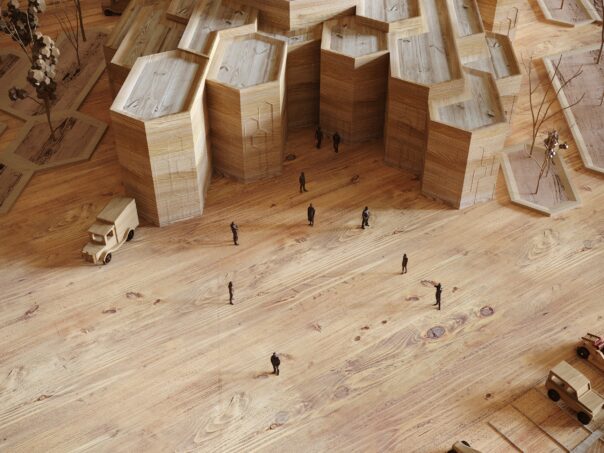
Topography architectural models are physical representations of the landscape, terrain, and natural features of a particular site. They are often used in architectural and urban planning projects to help visualize how a building or development will interact with the surrounding environment. Here are some steps that can be followed to create a topography architectural model:
- Obtain the necessary plans and data: Before starting the model making process, it’s important to have accurate plans and data of the site. This can include topographical maps, elevation data, and other geological and environmental information.
- Choose the scale of the model: The scale of the model will depend on the size of the site and the level of detail that is required. Common scales for topography models include 1:500, 1:1000, or 1:2000.
- Select the materials: The materials used for the model will depend on the desired level of detail and the available resources. Common materials used for topography models include foam board, cardboard, wood, and plastic.
- Create the base: Using the topographical maps and elevation data, create the base of the model that represents the land contours and natural features of the site.
- Add the buildings or development: Once the base is complete, add the buildings or development that are planned for the site. This can include the placement of roads, buildings, and other infrastructure elements.
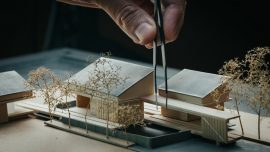
- Add details and finishes: Once the basic components are assembled, add details and finishes to the model to enhance the realism. This can include painting and texturing the surfaces, adding vegetation, and other natural elements.
- Present the model: Once the model is complete, it can be presented to clients, stakeholders, or other interested parties to help visualize how the building or development will interact with the surrounding environment.
Creating a topography architectural model can be a complex and time-consuming process, but it can also be a valuable tool for visualizing and communicating the impact of a building or development on the natural landscape.


0 comentários
Escreva um comentário